With its tides, storms, winds, and mighty power, the sea is often a mystery to us humans. But technology at least allows us to cross it. This was not always as easy as it is today. Until the 15th century, seafarers had only rudimentary skills to help them determine the course and position of ships. They observed the sun, the stars, the direction of the wind, and the movement of the waves. Birds also helped them navigate in the beginning. But the end of the 15th century was the age of great voyages of discovery and a new era of shipping began. In addition to the compass, which is thought to have been brought to Europe from China as early as the 12th century, seafarers at that time used what was known as a “Jacob’s staff”, which allowed them to determine the angle between Polaris or the sun and the horizon. In the 18th century, the sextant took over this task. Using these along with nautical tables, it was possible to work out a ship’s latitude. To determine the position more precisely, seafarers later used a chronometer, a high-precision, mechanical watch developed by Briton John Harrison in 1759.
Safety on the high seas
Depending on the visibility and weather conditions on the high seas, however, other aids were and still are important. In 1851, American Celadon Daboll invented the foghorn, which still serves as a warning system in poor visibility. Ships or lighthouses can use foghorns to emit a sound signal, for example if a ship comes too close to the coast or other vessels. The foghorn has also been called a “Tyfon” since 1920, when engineer Helge Rydberg patented the device under this name.
Seaworthy technology
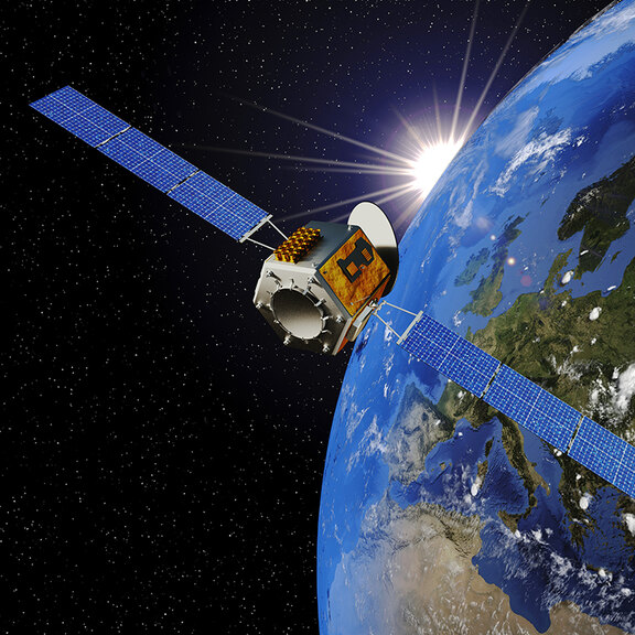
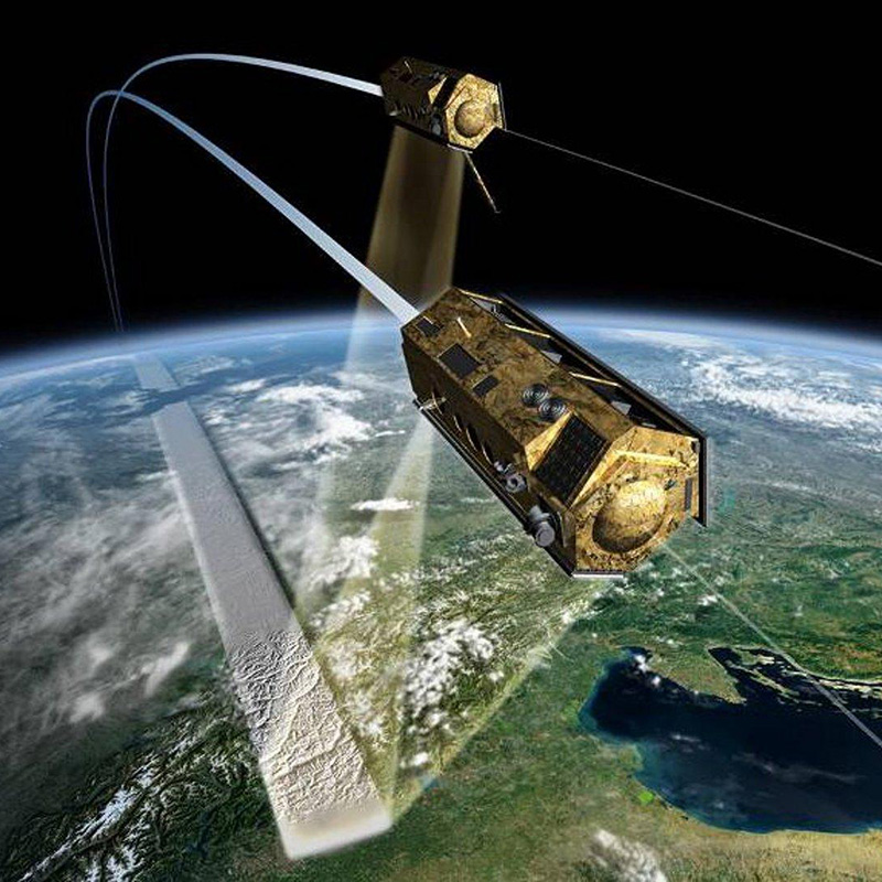
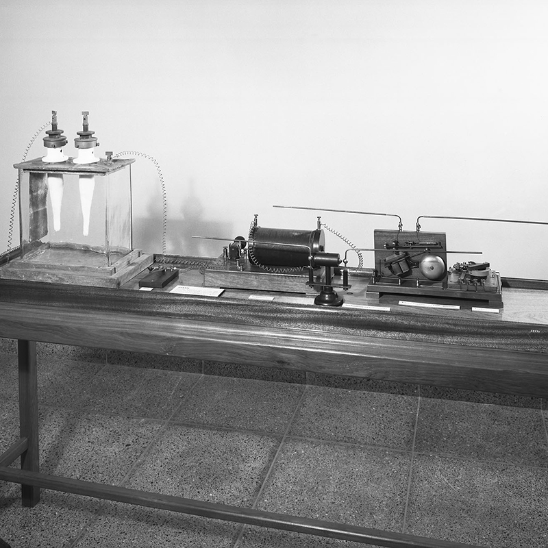
Marine navigation developed at a rapid pace in the first half of the 20th century. Radio navigation systems based on radio waves were used more and more. The second half of the last century then saw the dawn of satellite technology, which was also a milestone for shipping. The first generation of a globally available satellite navigation system was the US NAVSTAR GPS (“NAVigation System Using Time and Ranging – Global Positioning System”). It was launched in 1978 as a test series, initially planned as a purely military system. GPS has been fully functional since the mid-1990s and is now standard equipment on every ship – as an information, navigation, and steering system, for example.
(Header: あんみつ姫 – AdobeStock)


